

Sensorbite ✔
Information Technology And Services1-10 emp.
Unlock powerful insights with satellite data collaboration.
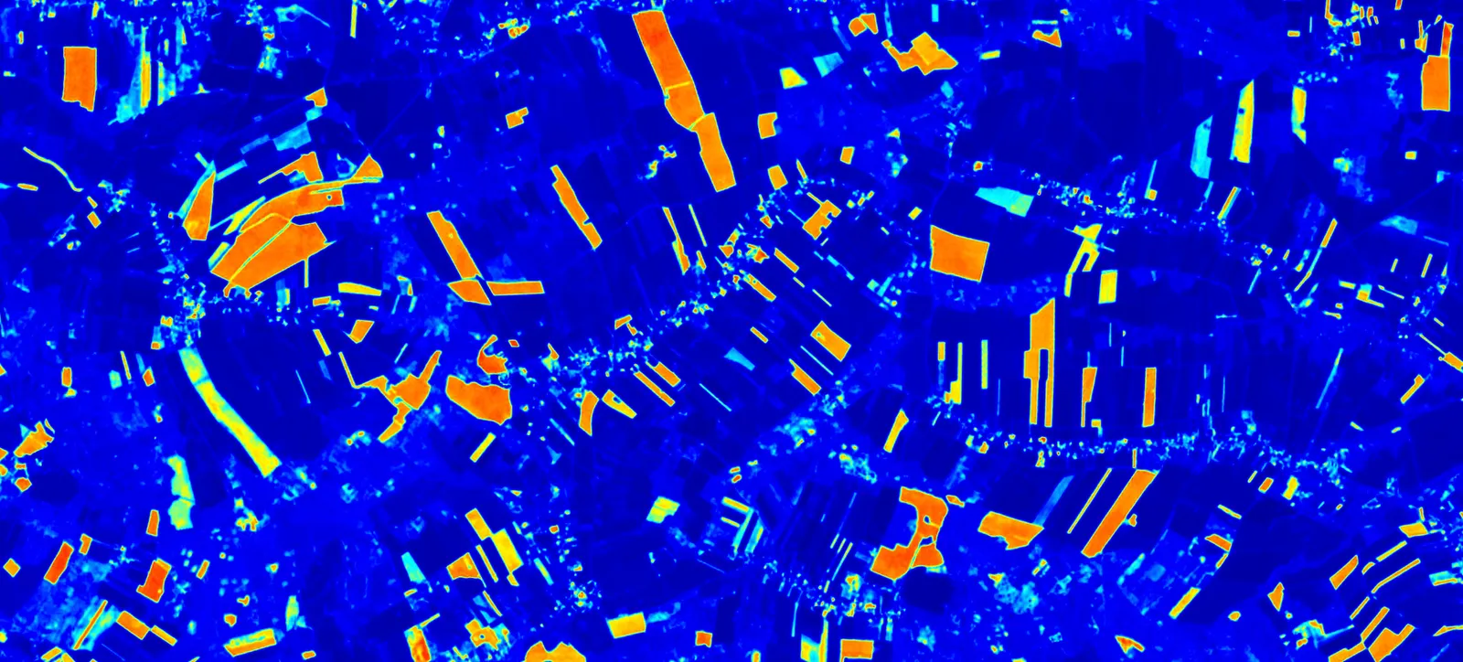
They run innovative solutions that integrate satellite imagery, GIS layers, and AI models to rapidly detect threats and changes in the environment. By teaming up with them, users can enhance their crisis management capabilities, streamline decision-making processes, and tap into advanced analytics for real-time situational awareness. This partnership opens doors to groundbreaking applications in disaster response and risk assessment, paving the way for impactful initiatives.